This was a big day riding some of the best roads I know of. Leaving Albertville I headed up Col des Saisies 1657m, Cormet de Roselend 1967m, Col du Petit St.-Bernard 2188m (Hannibal’s Pass), Col de l’Iseran 2,770m (Highest Paved Mountain Pass in Alps), Col Du Mont-Cenis 2087m, Col du Telegraphe 1566m, Col Du Galibier 2645m and into Briancon for 2 nights.
Download This Route »
Note: You will be asked to log in or register with RoadTrooper.com to gain access to downloadable .KML (Google Earth), .GDB (Garmin), .GPX (Generic) files.
Day 3
Before I get stuck in here I’ll just clear up a few things as there is usually some confusion over which is the highest paved road/pass in Europe or the Alps, so to save any argument here are the facts.
The highest paved road in Europe is Veleta in the Siera Nevada near Grenada at 3380m. However it is a dead-end and closed to general traffic beyond Hoya de la Mora at around 2280m, ye have to hike or cycle the rest of the way up. As it dead ends to motorcycles/cars at 2280m it’s not counted.
The 2nd highest is the Ötztal Glacier Road in Austria at 2830m but again this dead ends at a ski station, although it does boast as having the highest tunnel in Europe it’s not a pass and not counted.
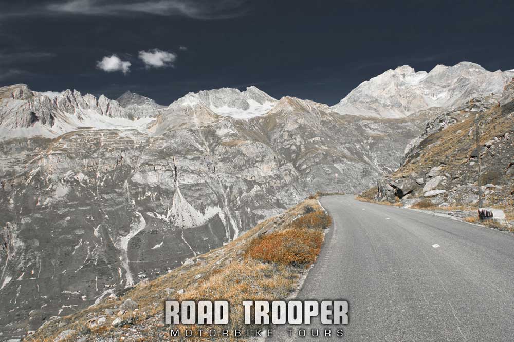
2011 Alps Tour - Col de l'Iseran Alt. 2270m
The 3rd highest, or highest depending on you point of view is “Cime de la Bonette” at 2802m, this is not a pass in itself, nor is it a dead-end but it does cause most of the confusion. It’s actually just a loop road, or extention off the Col de la Bonette which rises to 2715m which is a bit lower than Col de l’Iseran at 2770 m! A few years back the local Frenchies around Barcelonnette decided for no other reason then to piss off their Iserian neighbours and for “I got the bigger cock” boasting rights, to build a loop road (extension off the Col de la Bonette Pass) up around the summit of the Bonette mountain to which the road extension now reaches 2802 meters, it’s not exactly a pass as you can bypass it, but this road is higher than Iseran. It is therefore the highest paved road in Europe, not just the Alps, that is not a pass or dead-end, while Col de l’Iseran 2,770m remains the highest paved mountain pass in alps. I hope that is now as clear as mud ![]()
Col des Saisies
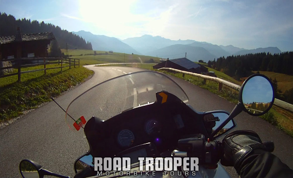
2011 Alps Tour - Col du Saisies 1650m
This is the first pass heading south from Albertville on the D218,t at 1657m it’s another low pass and easy riding through the alpine pastures and small scattered villages and ski stations with views of Mont Blank to the east. Settle in and enjoy a relaxing, almost zero traffic picturesque ride along this stretch as it’s just prefect to start the day.
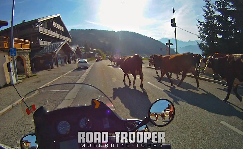
2011 Alps Tour - Col du Saisies Rush Hour Traffic
Just watch out for wandering herds of cattle in the mornings and evenings as they make their own way to and from the farms.
Cormet de Roselend
This connects Beaufort in the Beaufortain valley to Bourg-Saint-Maurice. On the west side of the pass lies the “Lac de Roselend” a reservoir that can be reached by the Col de Méraillet or the Col du Pré. The Col du Pre was a mad ride when I did it a few years back, fantastic views and a good road, but it also has a series of narrow hairpin turns that I was not in the mood to navigate on the RT this year, it’s far more fun on a smaller bike. The first time I did the Cormet de Roselend was about 10 years ago which I didn’t enjoy as the road was totally knackered. It was completely rebuilt about 4 years ago and I have to say that this 45km stretch was for me one of the highlights of this years trip. The D925 road up from Saisies heading south is steep, twisty with staggering views of the valley below and in generally good condition except for a few patches.
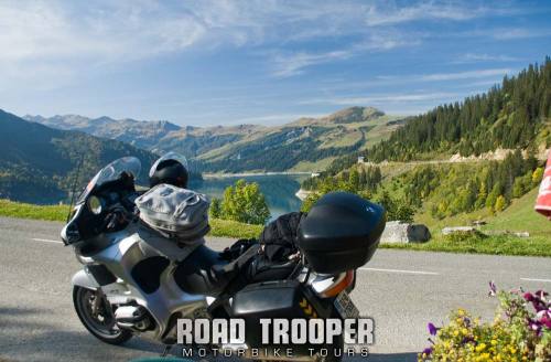
2011 Alps Tour - Lac de Roselend
Coming over the top and down to the turquoise lake Roseland the views are jaw dropping on a clear day and the road sublime. At the head of the lake there is a chalet/bar/cafe with stunning views over the lake, its well worth taking a break here as from this point on the road gets slower but no less exhilarating and you will regret rushing through this stretch as it’s just too damn scenic to blast by at mach 10!
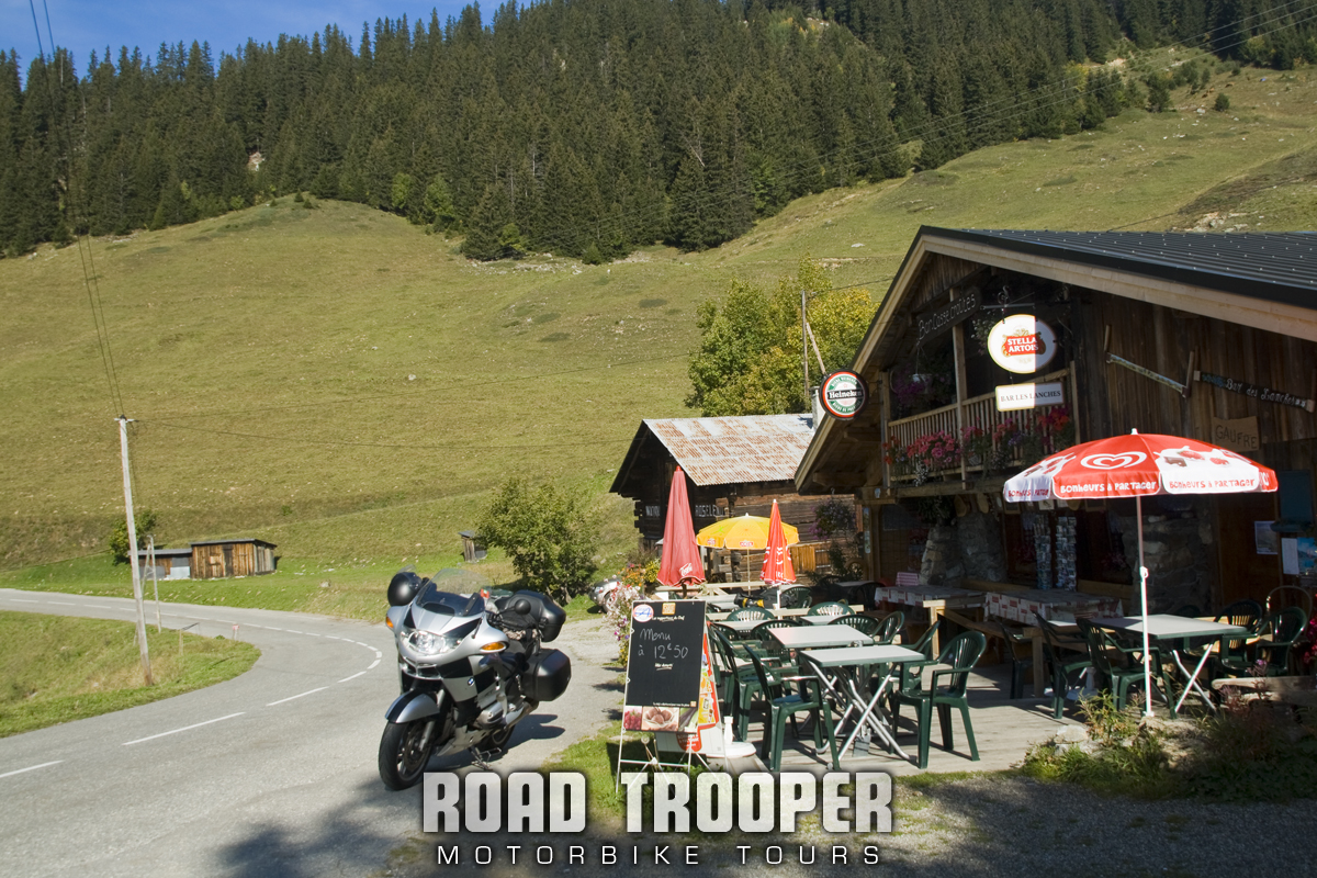
2011 Alps Tour - Lac de Roselend Coffee Stop
Heading south from Lac Roseland the road again climbs steeply up to Cormet de Roseland where the road gets a little rougher and the scenery changes yet again with some strange rock formations with mountain streams running below and over the road, this is alpine motorbiking at its best just for its shear remote madness and at 1970m this is where the high stuff begins.
Crossing the saddle of Cormet de Roseland the road becomes impeccable and runs into a smooth, blistering fast sweeping dive of 1000m over 15km of beautifully fast motorbiking into Bourg St Maurice. Although don’t be surprised to find yourself chasing a lycra wearing, peddle pushing brother belting down this stretch easily doing 65kmph!!!!
Col du Petit St.-Bernard, Italian – Colle del Piccolo San Bernardo
The Little St Bernard Pass is a mountain pass on the France–Italy border. Its saddle is at 2188 metres and located between Savoie and the Aosta Valley to the south of the Mont Blanc Massif. Although damaged by a road that runs through it, the pass is the site of a Stone circle measuring 72 m (236 ft) in diameter, easily missed unless you walk up the slope beside the road.
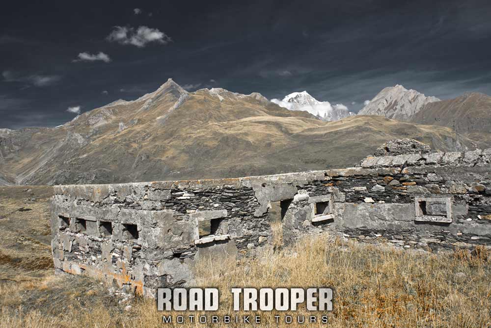
2011 Alps Tour Old Fort with Mont Blanc on Col du Petit Saint Bernard
A Roman temple dedicated to Jupiter was also erected nearby along with a Roman “Mansio” serving travellers along the pass. This being one of the oldest known routes through the alps from Gaul to Italy it is almost certain the Carthaginian general Hannibal Barca used this route on his way the kick some Roman ass.
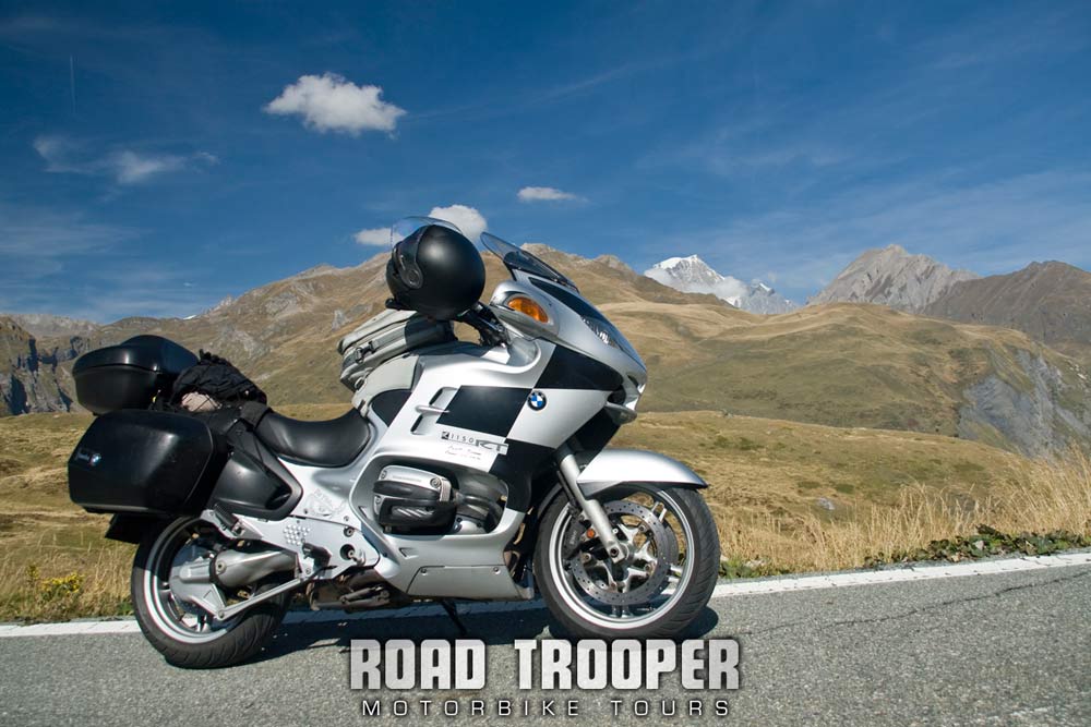
2011 Alps Tour Col du Petit Saint Bernard looking north to Mont Blanc
Living much of the year near Cartagena (little Carthage), originally a Carthaginian city in Spain, I have a fascination with this dude and had to ride up this pass just to see what he might have seen viewing Italy for the first time before the 10 odd years of raping and pillaging his way through Italy. And even if you could not care less about the history of this area it’s still a good way to burn an hour or two along with some rubber on the hairpins climbing out of Bourg St Maurice with great views over Col de Iseran, certainly a great way to cross the border.
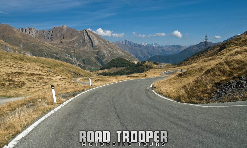
011 Alps Tour - On the Italian side of Colle del Piccolo San Bernardo looking towards the Aosta Valley.
Bg-St-Maurice is not a particularly interesting town, but you would be well advised to get your tanks filled here as it’s a long stretch to the next petrol station unless you have a credit card to use the automated one in Val D’Isere. Personally I prefer the run up the Saint Bernard Pass from the Italian side as the road is faster and not as narrow or hair-pined as on the French side leaving Bourg which can seem like hard work on a big heavy bike. If your on a tight schedule this col can be missed, the next col south “Iseran” definetly can not be missed. Remember to fuel up in St. Maurice before heading south because your about to hit the high stuff and your engine will more than likely be burning rich…
Col de l’Iseran 2270m (thats 7,448ft above sea level folks)
Starting from Val D’Isère the Col de l’Iseran is 48 km long. From the south, the climb starts at Lanslebourg-Mont Cenis and is 32.9 km long. Col de l’Iseran is 2770m and Highest Paved Mountain Pass in the Alps. If your bike’s not running rich at the bottom it sure as hell will be when you’re at the top. Fill up in Bourg St.Maurice even if you don’t really need to as the petrol station in the ski station of Val d’Isere is one of those automatic credit card things that may or may not take your card.
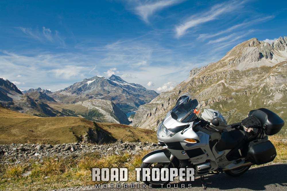
2011 Alps Tour - Col de l'Iseran looking north towards Val d'Isère
From Bg-St-Maurice to Val d’Isére is fairly busy with resort traffic, but gets really good again just after Val d’Isére where the road becomes extremely memorable. Watch out for the unlit and often wet twisty tunnels just before Val d’Isére which can be a bit hairy with big trucks belting through them.
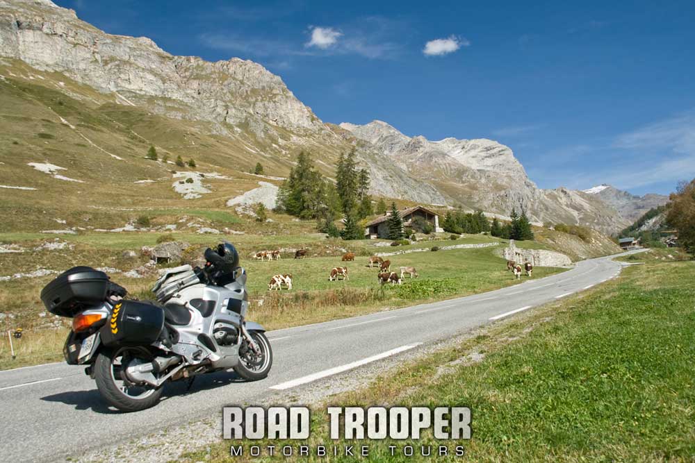
2011 Alps Tour - Val D'Isère heading towards the high road of Iseran.
Once ye get through town the road changes into a high-alpine playground. After a straight-ish bit through the valley outside Val d’Isere the road turns sharp right over a small bridge then it’s up, up, up, and up some more. A good surface and a steepish climb into the pass but beware of both tourist and heavy goods traffic. As is all too common there are no barriers to stop you barreling over into the abyss so ye need to keep your shit together, acting the ass or a seconds inattention on this road can only end in tears, if you do go over the edge it will be days before they will recover whats left of you.
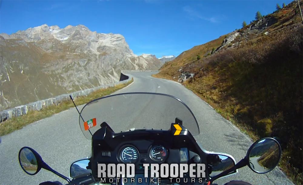
2011 Alps Tour - North Ramp to Col de l'Iseran from Val d'Isere
There is often snow at the top on the roadside until early July and in autumn the weather can turn nasty real quick. The first time I came here I rode up the south side in beautiful weather into the pass, rounding a corner it was smack into thick cloud and looking over the edge, just inches from my tires and into even deeper darker cloud below gave me nightmares for weeks afterwards. The pass closes around the end of October and may not open again until late June or even July, so unless your planning on riding this pass during the summer you will need to have an alternative route planned. The summit itself is not nearly as dramatic as Cormet de Roselend, nor as interesting as the Little Bernard Pass and is crisscrossed by ski lifts with a refuge at the top of the southern ramp. Check out the route I took in June 2010 through the Aosta valley when Iseran was closed.
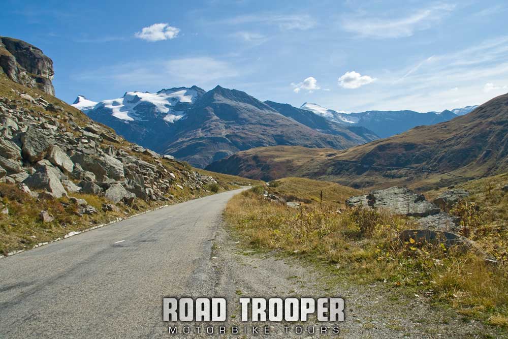
2011 Alps Tour - South Ramp from Col de l'Iseran
While the northern ramp is steep and relatively short, the southern side is longer and less steep, generally much faster. Taking the pass from the south is probably the most enjoyable and the scenery is much more dramatic with some great views on the glaciers on the mountains to the south. More-or-less a ride through a valley floor until Bonneval-sur-Arc, the road then climbs up the mountain. This bit is less well surfaced and a bit bumpier than the northern side and ye need to keep a sharp look out for debris falling off the mountain onto the road.
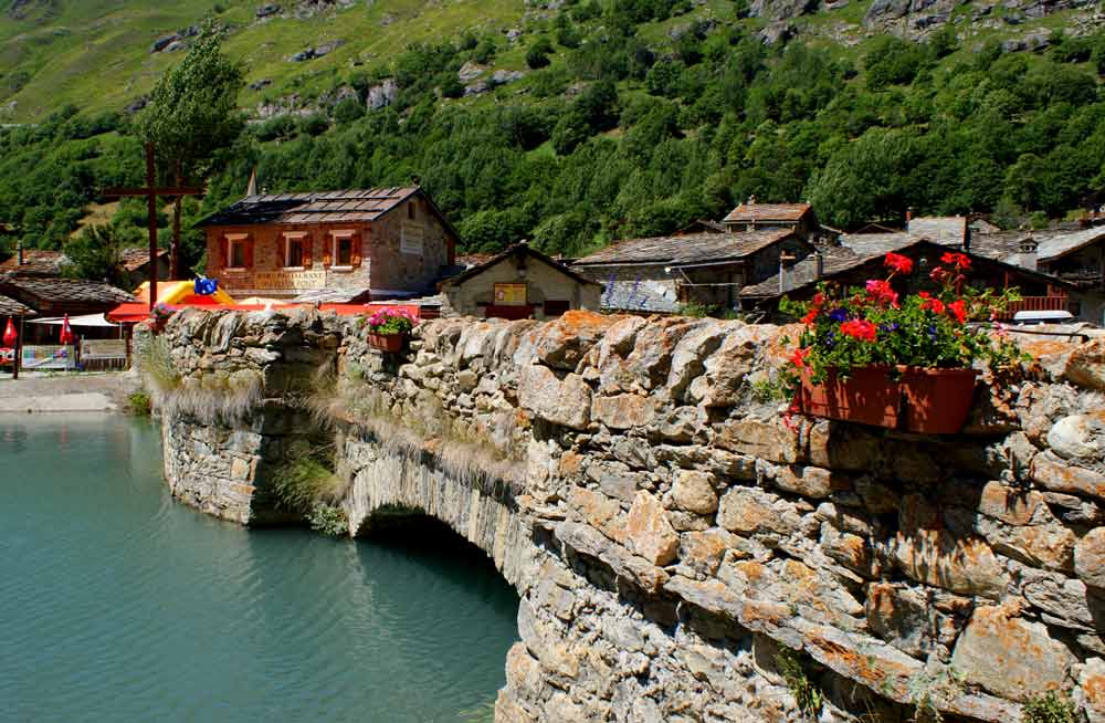
2011 Alps Trip - Bonneval-sur-Arc on the southern end Col de l'Isere
If you have the time the little village if Bonneval-sur-Arc is well worth a walk around, it’s really a very beautiful place and worth a 20 minute walk around…
Col du Mont Cenis
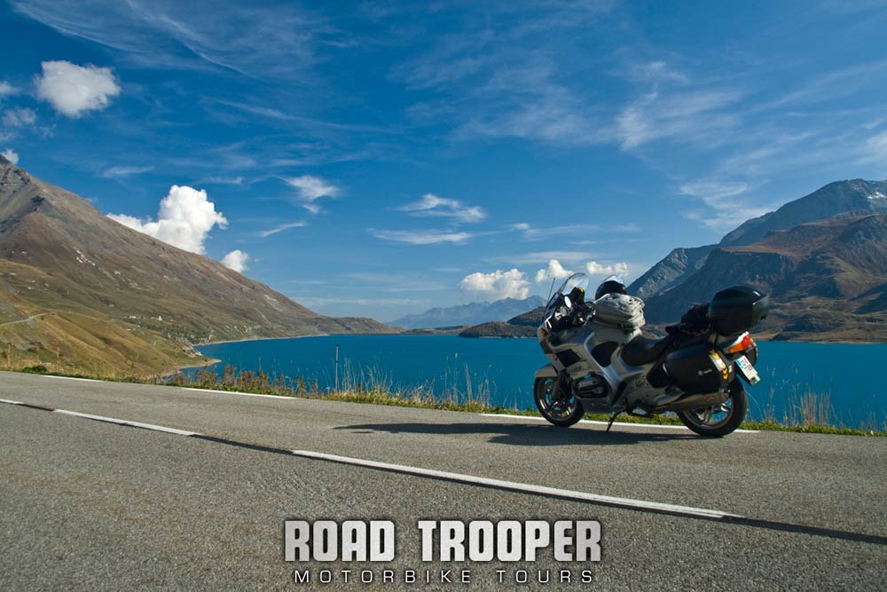
2011 Alps Tour - Col de Cenis looking towards the Italian Border.
Still heading south the next great road is Col du Mont Cenis [2087m] which is a road I did for the first time last June, it was so enjoyable I could not pass by without taking another run up again.
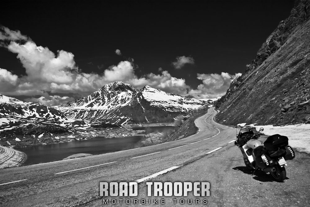
2011 Alps Tour - Col de Cenis looking north into France.
Take the marked turn off just outside Lanslebourg-Mont-Cenis, it’s quite short, just 20km up the Col and across the lake to the border so you could easily go over then back if your planned route doesn’t take you over the border. I’d without doubt take the time to do it. It’s also a shorter route to take if you’re heading to Briancon or if the Cols Telegraph and Galiber are closed. There is a cafe/restaurant beside the lake about half way along the col more often than not packed with local bikers.
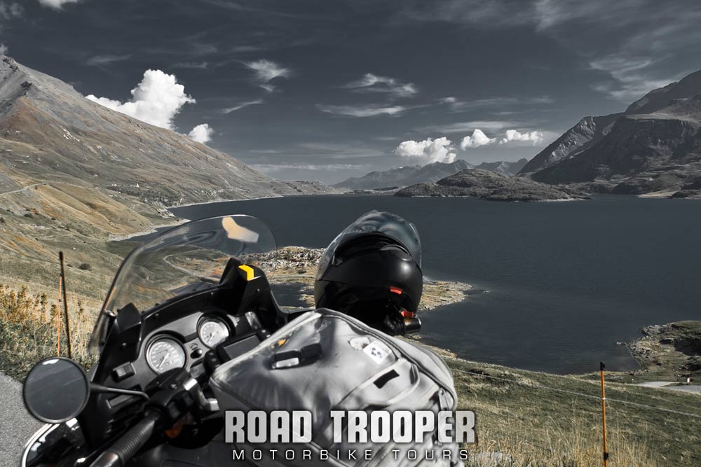
2011 Alps Tour - Col de Cenis looking towards the Italian border.
The French side starts off with some mostly smooth hairpins then snakes up through medium-tight curves to the lake. The run alongside the lake is just fecken marvellous. The Italian side is a hell of a lot tighter and twistier but the surface is almost perfect….wonderful stuff. There is a steep drop past the reservoir wall which is spectacular. The run up from the motorway (A32) from Italian side is definitely far more fun then the French side, so if you’re heading north from Briancon this is a great route to take.
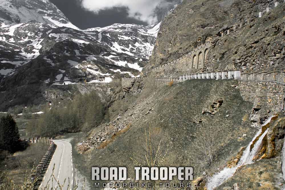
2011 Alps Tour - Italian side to Col de Cenis
Col du Telegraphe Alt. 1566m
This col is a complete pain, tighter than a ducks arse and even tighter steep hairpins, slow heavy traffic and bad surface all the way to Valloire and about as much fun as getting a divorce from a crazy bitch who’s solicitor is a frustrated, man hating she-wolf! The only reason you would take this col is to get to Col du Galiber which is beyond spectacularly amazing and absolutely can’t be missed. Accept the pain that is Telegraph, it’s worth it to get to Galiber.
Col du Galibier and more great biking roads around Briancon in my next post – 2011 Alpine and Pyrenees Tour Day 4
Download This Route (2011 Tour Day 3 Albertville – Briancon) »
Note: You will be asked to log in or register with RoadTrooper.com to gain access to downloadable .KML (Google Earth), .GDB (Garmin), .GPX (Generic) files.
Hotels
Ibis Briancon – Not a bad place to stay, cheap, good breakfast, good location, park your bike in front of reception and it will be safe.
Auberge Mont Prorel – Really great place to stay, near the center, off street parking, English/Irish style bar with a pool table, good restaurant with large breakfast served, rooms clean and comfortable, can’t ask for more. Run by an English couple, rated as a 2 star but I’d give it a 3. Great if your on your own, with a bunch of lads or just with the wife/girlfriend.
Road conditions; check the status of the Cols/Passes:
InfoTrafic: Alpes Du Nord
Bison Fute
Next: 2011 Alpine and Pyrenees Tour. Day 4
